Category: Mapping
-
Ultra-Wideband vs. Bluetooth Tracking: Which One Is Right For You?

Outdoors, Global Positioning Systems (GPS) are used to locate people, places and things, a process that is hindered once those objects move to an indoor space. When GPS tracking is not an option, real-time indoor location systems come into play; the most common being Bluetooth Low Energy (BLE) or Wi-Fi. This was the case,…
-
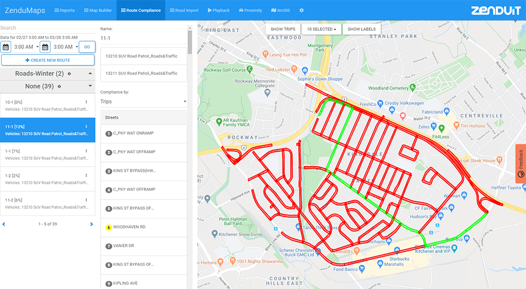
New Product: ZenduMaps

ZenduMaps is a ZenduIT-made mapping solution that allows fleets to not only have an internal view of their asset location activity through MyGeotab, but also offer links for public use that only show predefined asset activity. Mississauga, ON – July 2, 2020 – ZenduIT, a leader in commercial telematics has announced the release of a…
-
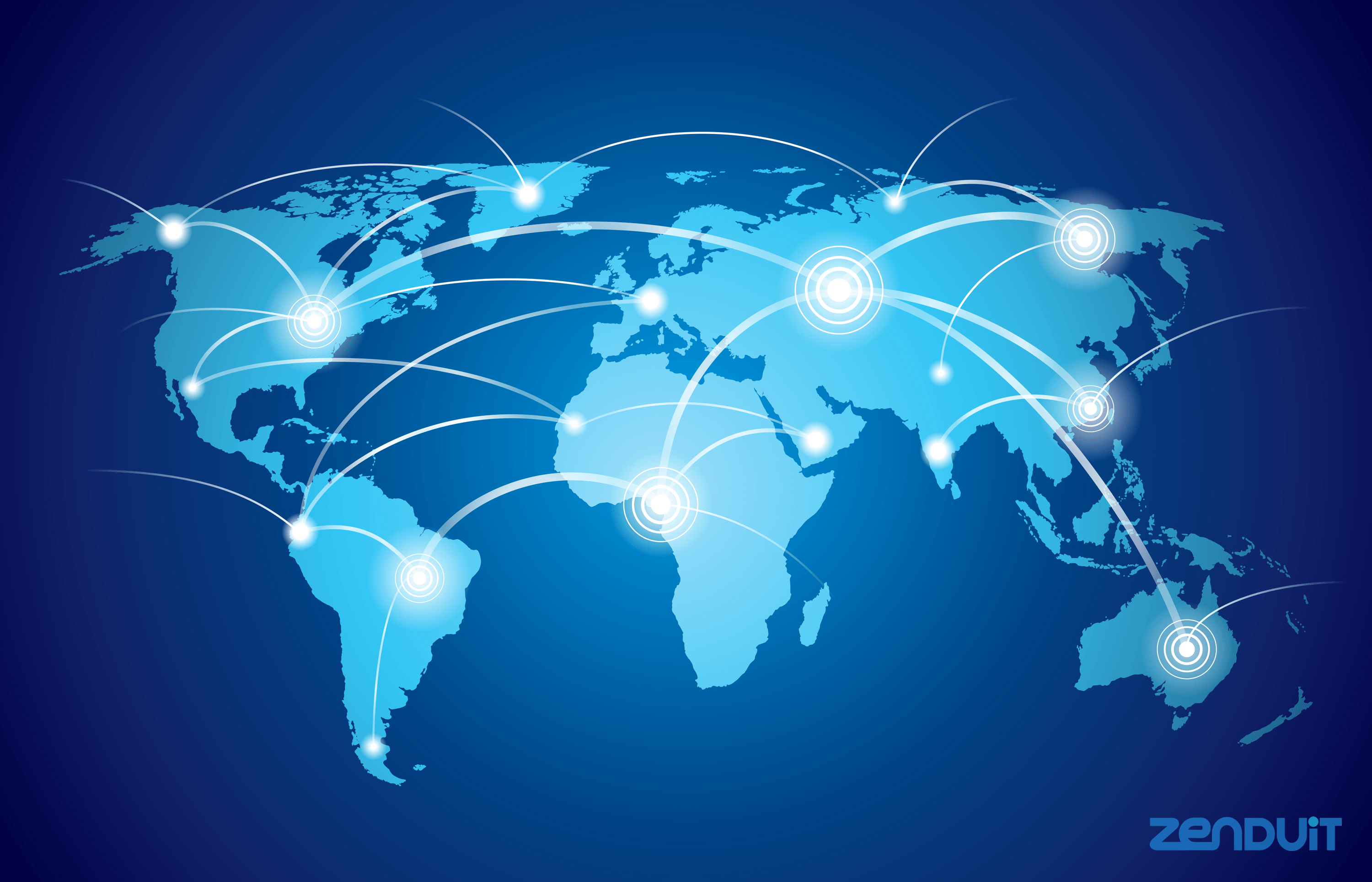
Geographic Information Systems: What It Means For Businesses

Typically, when businesses are provided with large amounts of information, they are able to better manage their organization and as a result, increase profits. With advancing technology many are currently experiencing how new innovations that provide them with more information can move company growth forward. One innovation that is worth highlighting is GIS technology, or…
-
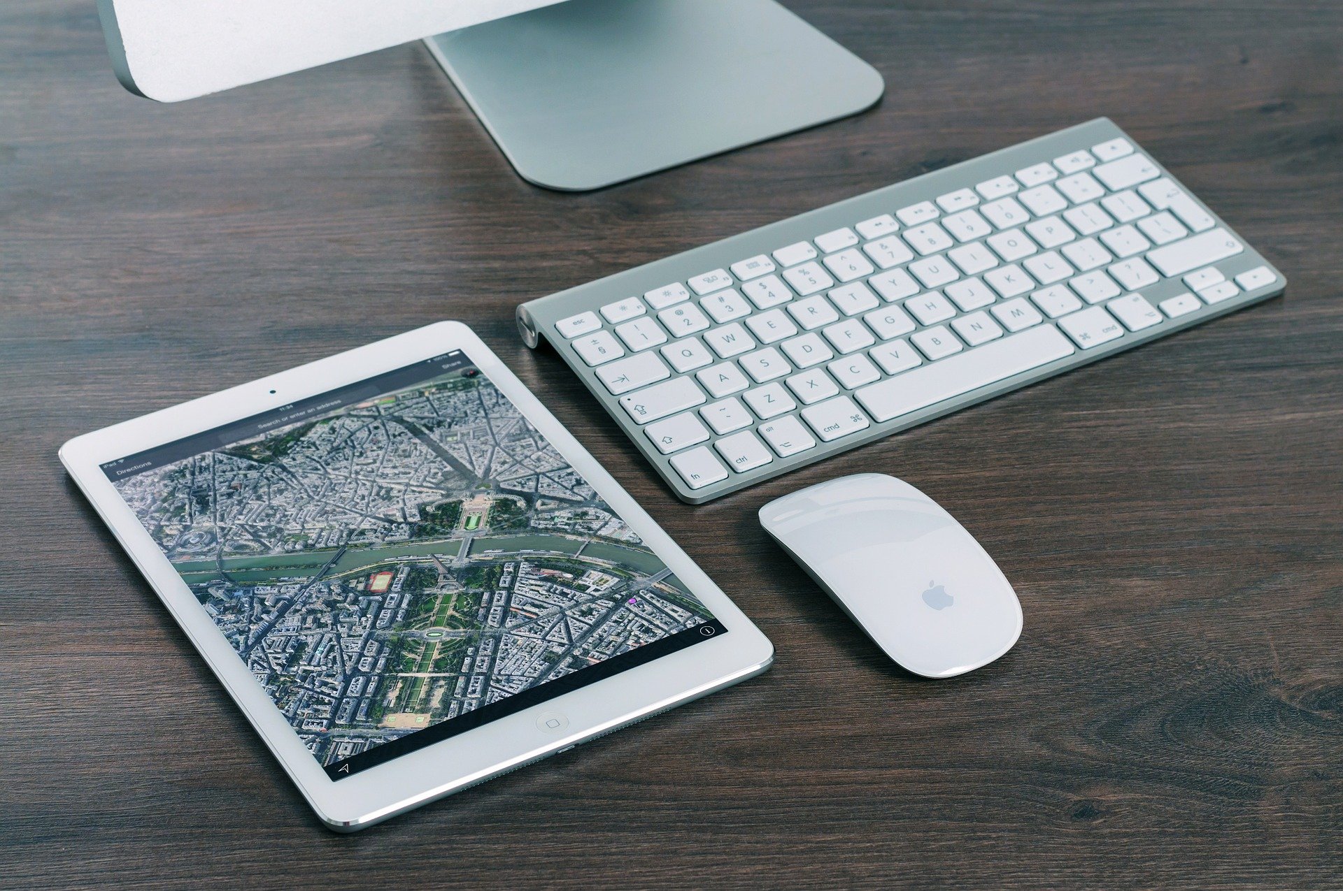
Future Benefits of Digital Mapping Technology

The rise of the digital map which came about in the mid-1990s, was a game-changer for transportation solution providers and consumers. The change from the physical map to a digital map of any neighborhood or city in the world was a huge step forward. It was a real godsend for the transportation industry, suddenly, drivers…
-
Custom Mapping Add-Ins for Fleet Management Software

ZenduIT is always working to streamline processes for fleet and field service companies, and that often means integrating our product with any number of industry-leading technologies. We find that some of our most popular integrations involve mapping solutions that make it easy to visualize our telematics data. These integrations can help users track and manage…